 Live
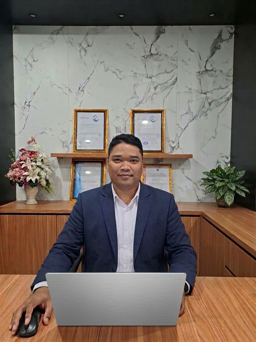
Aldika Kurniawan
Marine & Offshore Survey Operations Leader
Leading marine and offshore survey operations for energy infrastructure projects from subsea pipeline and hydrographic survey to tender support and business development across South-east Asia's oil & gas sector.
92Projects
7Countries
12+Years
68+Clients
Marine and offshore survey operations professional with 12+ years of experience across oil & gas, subsea, pipeline, offshore infrastructure, geospatial, bathymetric, geophysical, dimensional control, and inspection projects. Career began in hands-on technical survey execution — field survey, data acquisition, dimensional control, 3D laser scanning, offshore inspection, pipeline inspection, DGPS/gyro calibration, and survey reporting. Progressed over time into project management, technical coordination, operations leadership, client interface, tender support, and business development. This combined technical and commercial background bridges field execution, engineering requirements, project delivery, client expectations, and business objectives. Supported projects for major oil & gas, EPC, subsea, marine, and energy clients across Southeast Asia, including offshore pipeline, subsea infrastructure, FPSO-related inspection, cable lay, pre-lay, as-built survey, hydrographic/bathymetric survey, and marine construction support. Holds a B.Eng. in Geodetic Engineering from Universitas Diponegoro, with a thesis on land subsidence of Semarang City using GAMIT.
Available
for Collaboration & Long Term Engagements
Open to opportunities in survey operations, project management, and client-facing roles with international teams.
Survey Operations Manager
Client Representative
Survey Project Manager
Project Surveyor
Survey Party Chief
Discuss a Project →
Software I Work With
Navigation & Acquisition
EIVA NaviPacEIVA NaviScanQPS QinsyHYPACK
Sonar Processing
SonarWiz
GIS & Mapping
ArcGISQGIS
CAD & Planning
AutoCAD (2D & 3D)MS ProjectSharePoint
Equipment
Sonardyne USBL & LodestarHiPAPR2Sonic multibeamEdgeTech 4200 side scanValeport IPS 10 barVeripos LD8
Self-developed Tools
DGNSS verification appNMEA survey simulator
Career Journey
From field surveyor to operations leadership across 5 companies.
View timeline →Project Portfolio
92 projects across 7 countries, mapped and detailed.
Explore projects →Technical Writings
Survey procedures and field notes, offshore to onshore.
Read writings →| Country | Projects |
|---|---|
| Indonesia | 65 |
| Singapore | 17 |
| Malaysia | 5 |
| Vietnam | 2 |
| China | 1 |
| Thailand | 1 |
| Papua New Guinea | 1 |
Project locations across 7 countries — see full breakdown →
Built by me
Software & Tools
Live
 Live
Dhyrion — Survey Data Simulator
Simulator for testing and training on survey navigation software.
Open Tool →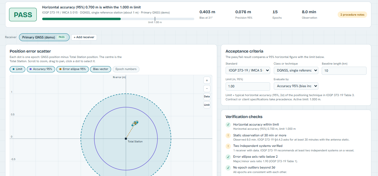 Live
DGNSS Verification Tools
- Compares vessel GNSS positions against Total Station control - Reports accuracy at 95% (2.448 factor, bias included) following the IOGP 373-19 / IMCA S 015 approach - PASS/FAIL against a limit you choose: IOGP typical accuracies, IHO S-44 orders, or your client's spec.
Open Tool →