Procedures & Technical Notes
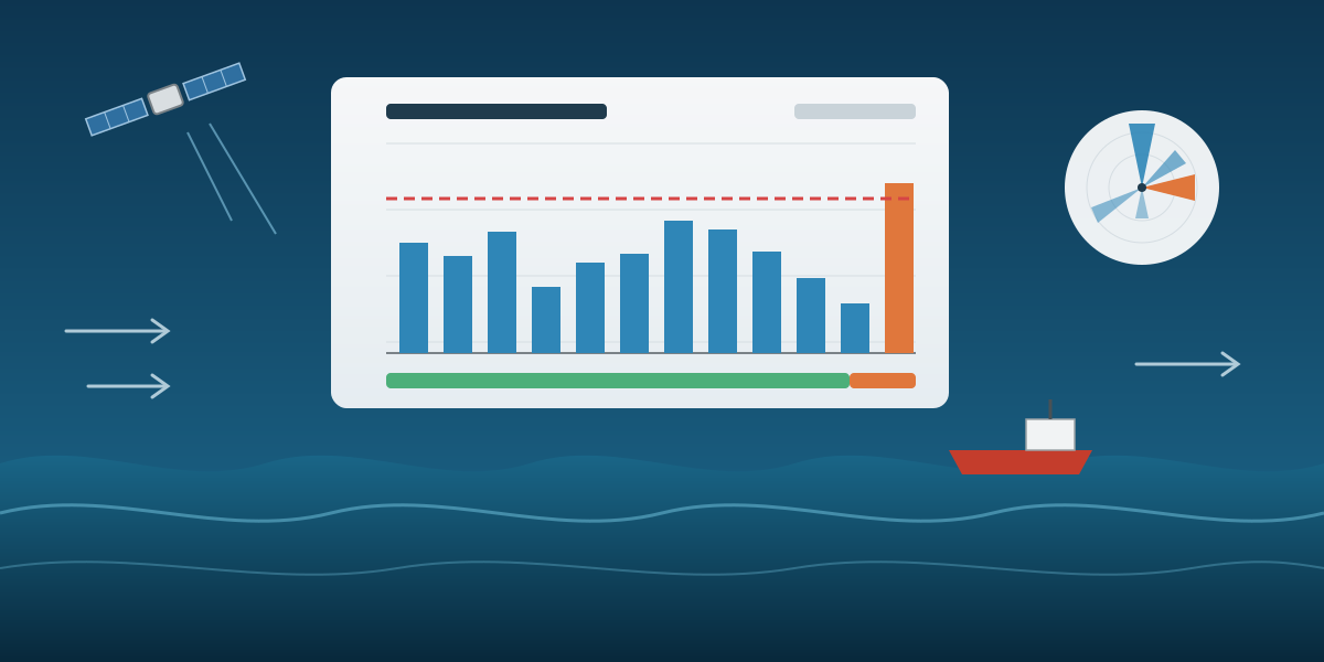
Free Metocean Data for Weather Window Planning
A small Python tool that turns free Copernicus data (ERA5 waves and wind, Copernicus Marine currents and wave forecasts) into monthly statistics, roses and a weather window analysis for one project location, and what the safe-time and window percentages really mean.
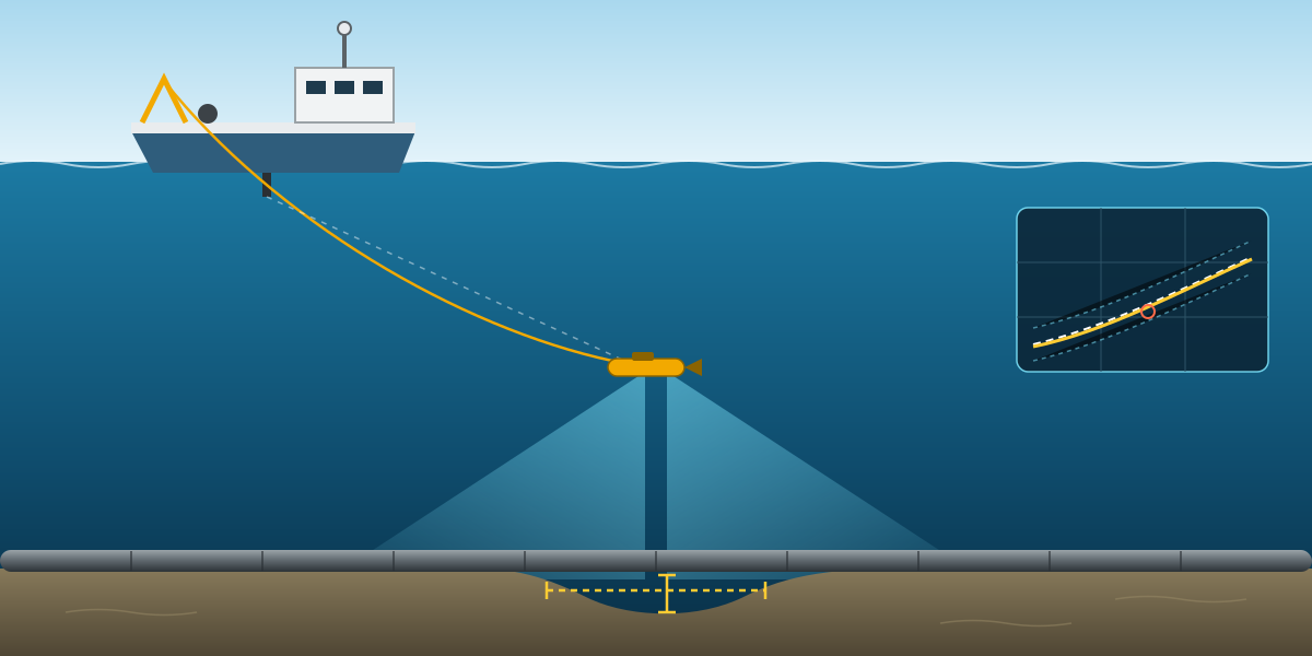
As-Laid Pipeline Survey with Side Scan Sonar: Procedure and Lessons
How an as-laid survey of a 28-inch offshore gas pipeline is set up: DGNSS, gyro and USBL calibration with clear acceptance criteria, side scan line planning and overlap, crossings, and checking free spans against the right allowable length.
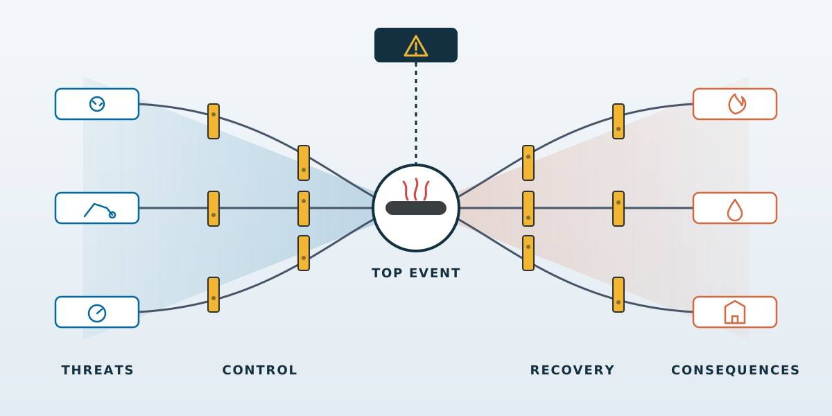
HAZOP and HAZID Through a Surveyor's Eyes
What a HAZOP and HAZID training taught me as a surveyor: hazard and threat vocabulary, people versus process safety, Swiss cheese and bowtie barriers, ALARP, the hierarchy of controls, why pipelines fail, and how node-and-guideword thinking helps survey planning.
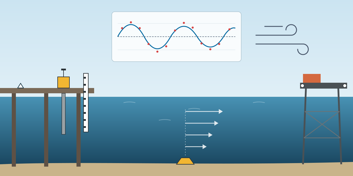
Tides, Metocean and Monitoring: The Analysis Side of a Survey Package
The data and analysis family of a survey and positioning services package: tide observation tied to the land datum, harmonic tide analysis and prediction, metocean analysis for operations and design, settlement monitoring as a time series, temporary markers and on-call services.
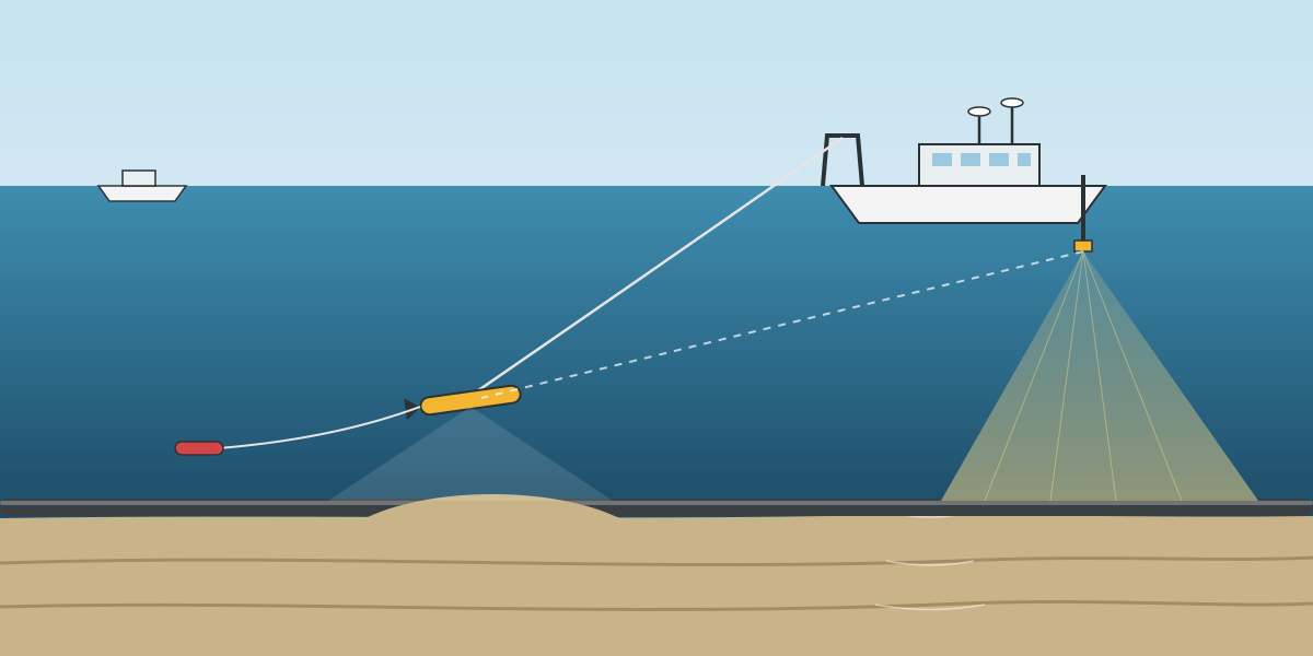
Hydrographic and Pipeline Surveys: From Near-Shore to Offshore
Ten hydrographic and pipeline service lines as five near-shore and offshore pairs: how the spread grows from singlebeam to a full geophysical survey with multibeam, side scan, magnetometer, sub-bottom profiler and USBL, and the calibrations and tide control that hold it together.
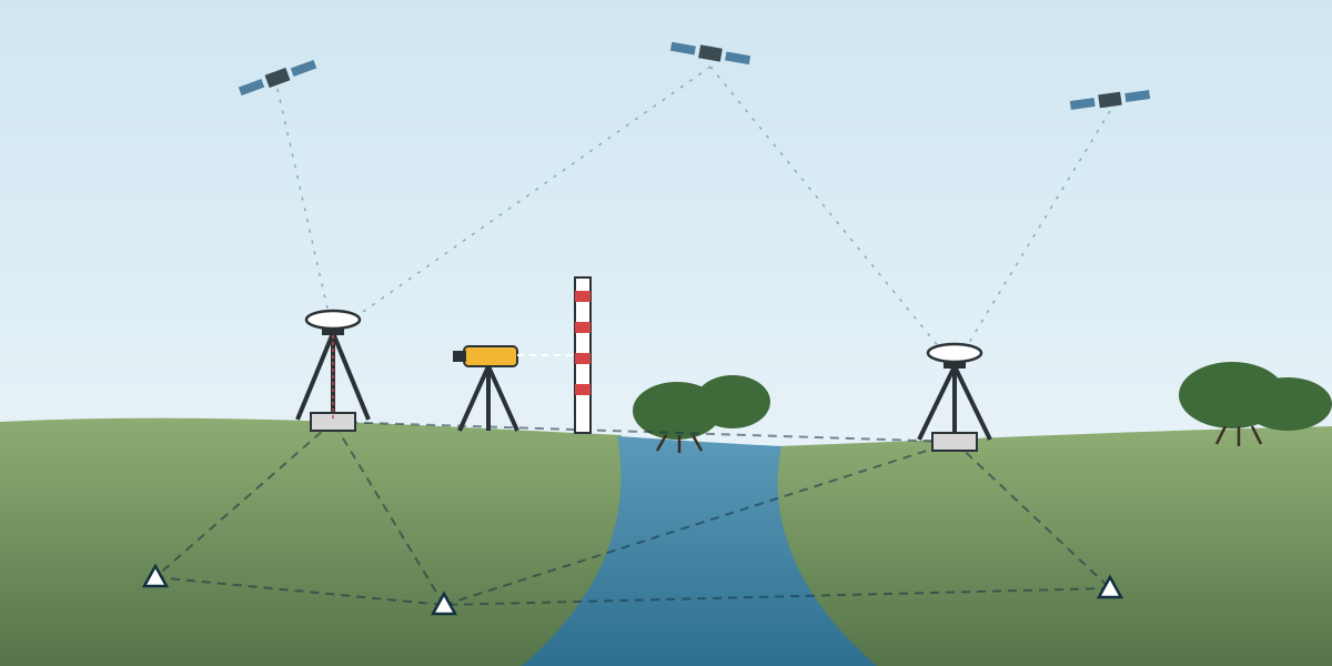
Geodetic Control and Topography: The Chain Behind Every Survey
The geodetic control family of a survey and positioning services package: reconnaissance, static GNSS and monuments, precise levelling to tie land and sea datums, RTK, traversing and WADGNSS, installation monitoring, and settlement monitoring.
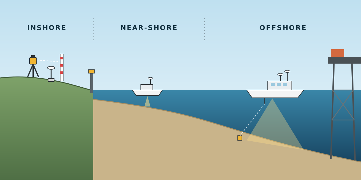
Planning a Multi-Scope Survey and Positioning Services Package
How a project execution plan for a survey and positioning services package is put together: three kinds of site, 26 service lines grouped into four families, spreads and crews that scale from land to offshore, calibrations with acceptance limits, and layered reporting.
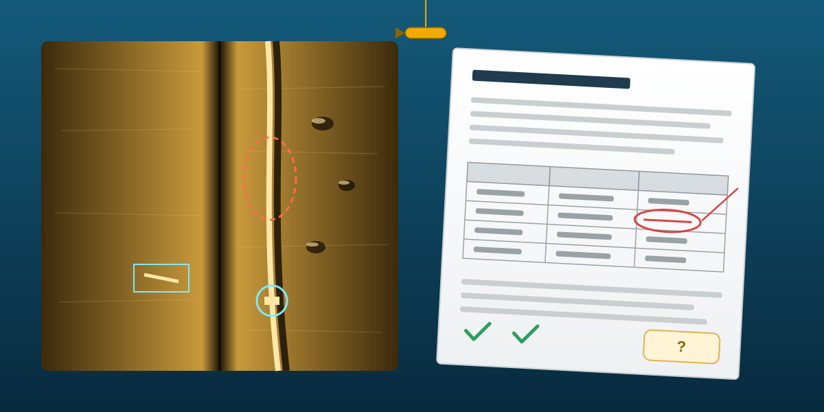
Pipeline Inspection Report Review: Corrections and Client Questions
What a client review of a side scan sonar pipeline inspection report looks like: the consistency errors that had to be corrected, and the questions on pipeline movement, smart pigging, accuracy and changing free spans that the team prepared answers for.
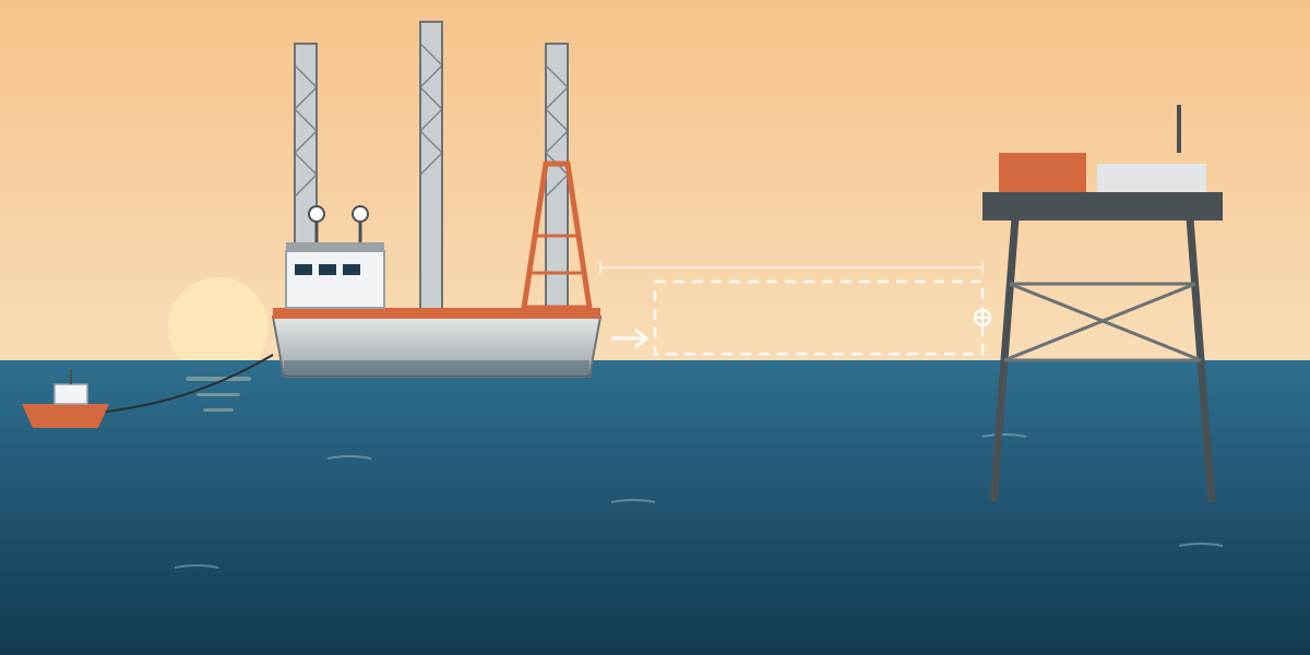
Rig Move Positioning: Getting a Drilling Rig onto Location
How the survey side of a rig move is set up: a stern-centre target and heading, two independent DGNSS systems, offsets and sun-shot gyro checks before the move, a clear helmsman display on the approach to the jacket, and the final positioning fix.
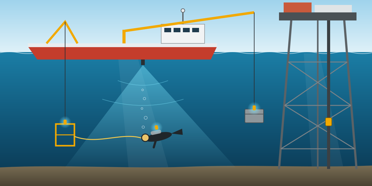
Survey Support for Diving and ROV Work at Offshore Platforms
What a survey positioning procedure for diving and ROV work needs to cover: DGNSS, gyro and USBL checks in port, platform approach and station keeping, tracking the dive cage, divers and crane loads, real-time QC and the records that close out an IMR job.
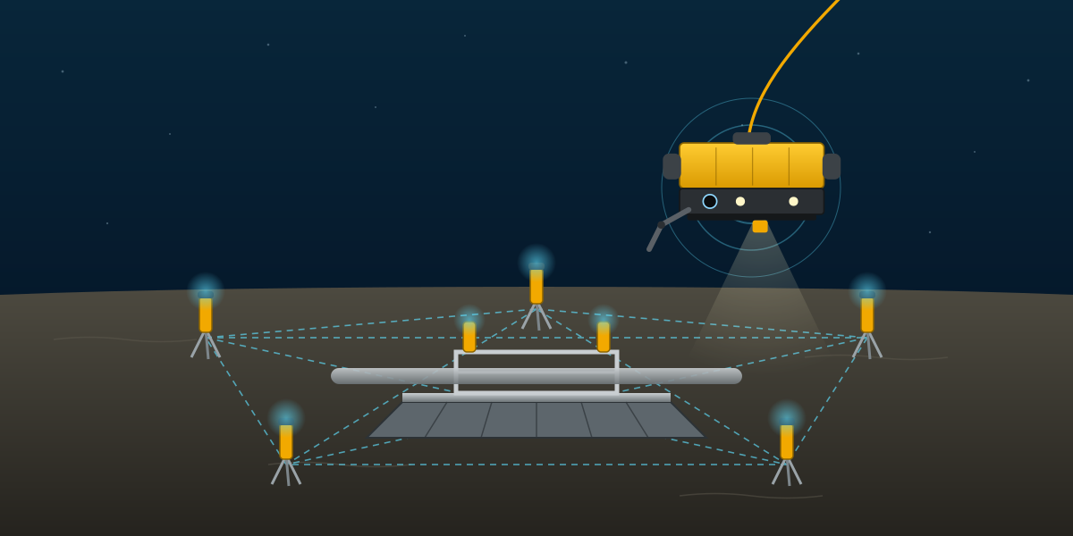
LBL Positioning for Deepwater Subsea Structure Installation
How a Long Baseline (LBL) survey procedure was set up to install mudmats for an inline tee and two PLETs at 1,200 to 1,400 m water depth: array design, transponder preparation, baselines, relative and absolute calibration, and the checks behind every reported position.
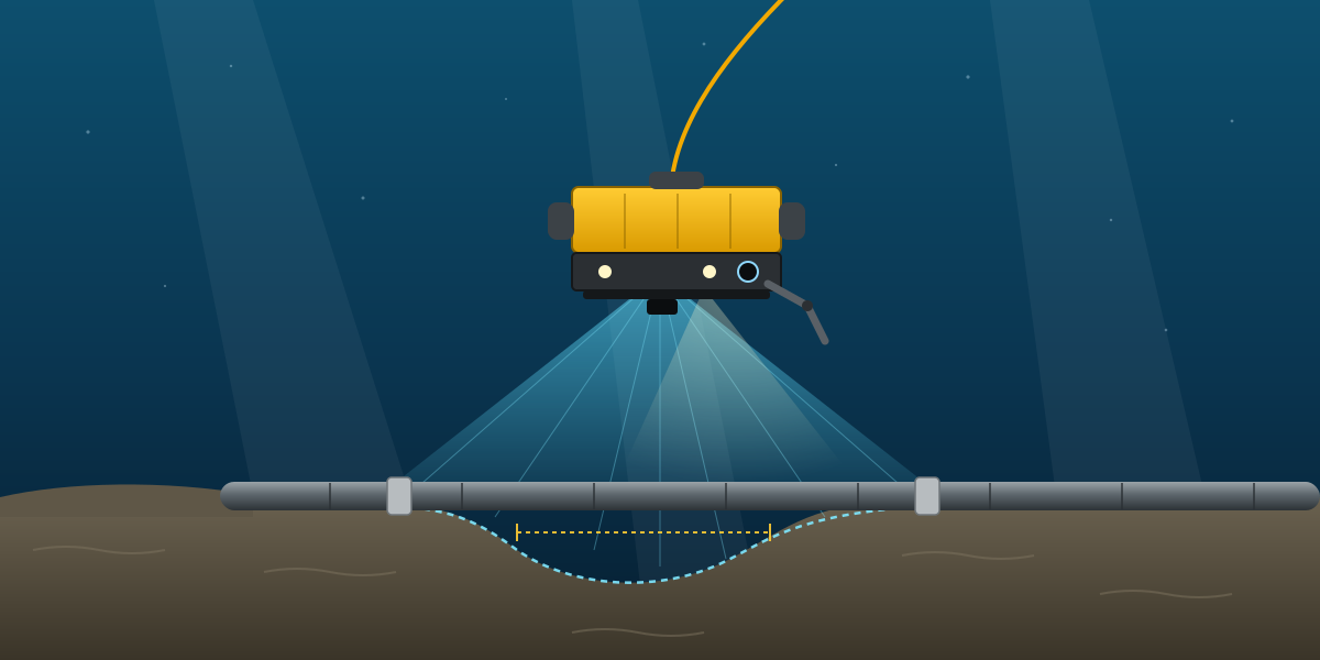
ROV As-Built Survey of a Rigid Gas Pipeline: Method and Findings
How an ROV as-built survey of a 13.5 km, 18-inch rigid gas pipeline was run: multibeam calibration on the pipe, live eventing, free span and burial checks against the multibeam, cathodic protection readings, and what makes an as-built a reliable baseline.
Positioning Support for Subsea Cable Lay: Barge, Anchors and Touchdown
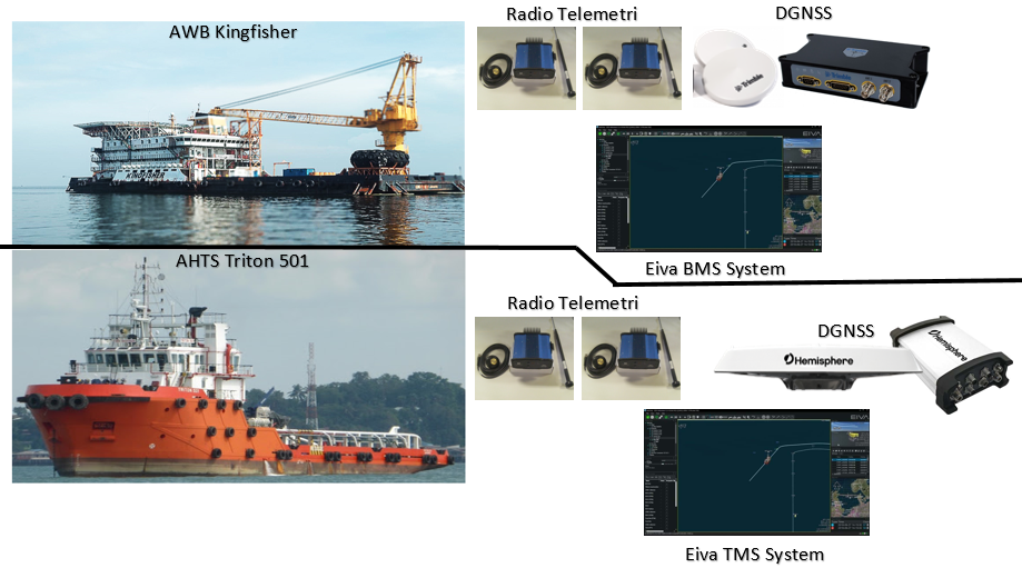
How the survey positioning procedure for laying a 15 kV subsea cable from Pabelokan Island to the NORA-A platform was planned: barge and tug management systems, offset and DGNSS verification, anchor handling around existing assets, station keeping and real-time QC.
Seabed Survey for a Subsea Power Cable Route: Pabelokan to NORA-A
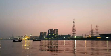
A case study of the seabed survey for replacing a 15 kV subsea power cable between Pabelokan Island and the NORA-A platform in the OSES block: survey design, sensors, geodesy, what the data showed, and lessons for cable route surveys in congested fields.
What I Would Tell a Fresh Graduate Entering Offshore Survey
University gives you geodesy, adjustment theory and coordinate systems. Those are real foundations. Offshore survey adds things that classrooms rarely cover. Here is what I think matters most when you start.
Offshore Construction Survey: What Survey Does from Pre-Lay to As-Built
Survey on an offshore construction project is not one activity. It is a chain of deliverables, each feeding the next. Understanding the chain makes you faster at your own part and much better at spotting what is missing.
Multibeam Bathymetry QC: Where the Errors Actually Come From
Most bad multibeam data is not caused by a bad echosounder. It is caused by an input that was wrong, stale or never checked. If you know where errors enter the system, you can catch most of them offshore, where fixing them is cheap.
Njord Survey signs three-year ROV framework agreement with RWE for European offshore wind farms
Njord Survey has signed a three-year framework agreement with RWE to provide ROV-based subsea survey and inspection services across RWE's offshore wind farms in the UK and continental Europe. The agreement follows earlier framework deals Njord Survey struck with Equinor, covering pipeline inspection and integrity services across offshore Europe, and with 50Hertz, covering survey support in the German Baltic Sea. The company states its teams have surveyed more than 23 full offshore wind farm areas to date.
Fugro adds deepwater geotechnical and metocean surveys for Timor-Leste pipeline routes
Fugro has been awarded two further survey contracts by Timor-Leste's Ministry of Petroleum and Mineral Resources (MPRM), covering a heavy geotechnical survey and a 12-month metocean monitoring campaign, in addition to an earlier geophysical survey award. The work supports route engineering for the Greater Sunrise gas export pipeline and the Bayu-Undan pipeline route to a planned onshore facility at Natarbora, in water depths reaching 3,000 metres in the Timor Trough. Geophysical fieldwork is planned for Q3 2026, with the geotechnical campaign (around six months) and metocean data collection (around twelve months) due to start in Q1 2027. Fugro will deploy its Seafloor Drill and SeaScout 35 MKII cone penetration testing (CPT) systems to gather subsurface and seabed data, with operations coordinated through the company's Remote Operations Centre in Kuala Lumpur.